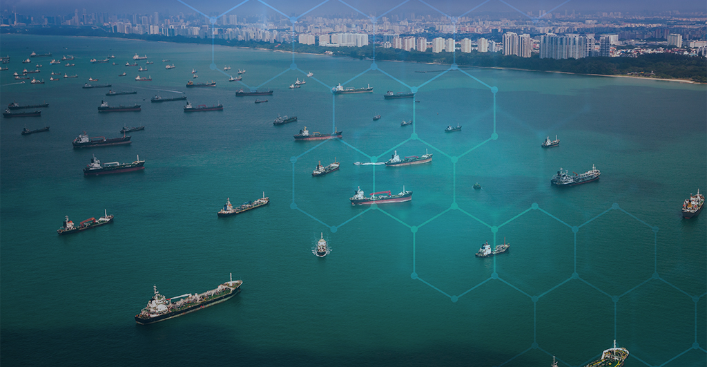
OGC has been researching and developing solutions for interoperability in and across marine and coastal environments for more than a decade.
Pilot will investigate how marine navigational data can be used in new ways in the Caribbean, and how Digital Twins can be created for coastal management in Singapore and the Arctic.
Addressing the complexities faced by organizations connecting data of the sea with data of the land.
BAG is an established open specification for representing bathymetric data as regular grids of seafloor depths with the corresponding vertical uncertainty and associated metadata.
FMSDI-22 aims to better integrate geospatial data to measure, analyze, predict, and visualize the impacts of Climate Change in the Arctic.
The UKHO’s Dr. Gerald J Wong explains how using the IGIF-(M)SDI Maturity Roadmap enables governments to better harness geospatial data that supports their nations’ socio-economic development.
Receive the latest news on OGC.
© 2024 Open Geospatial Consortium. All Rights Reserved.